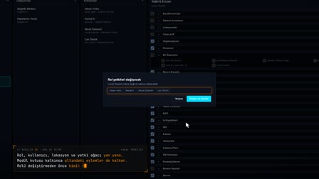
The work site address lands on the map and the site boundary is drawn
Center coordinates from the map, notifications from within 200 meters.
The screens in this film were recorded from the Turkish interface of Pulsar HRM.
Location and Boundary: locations, maps and site boundaries
The full address of a new location is searched with "Find Address on Map" ("Adresi Haritada Bul"); the satellite map flies to the address and the center latitude and longitude are filled in. The site boundary and entry point are drawn on the same map and saved with the İSG hazard class. An employee's biometric issue report is rejected if it comes from more than 200 meters outside the workplace; one sent from the gate is forwarded to their manager.
Branch and site management: location code, type, country, time zone
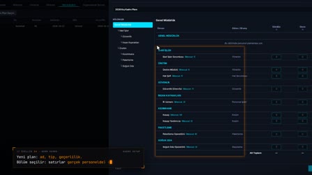
As multi location HR software, Pulsar HRM keeps each site as its own location record: it is opened and edited with location code, type (factory, office, warehouse or branch), country, address, time zone, language, hazard class and NACE code. All time screens use the location's time zone.
Site address map: find the address on the map
"Find Address on Map" ("Adresi Haritada Bul") searches for the full address; the satellite map goes to the address, and the center latitude and longitude are filled in automatically. These fields are read-only and are updated with a marker dropped on the map.
Site boundary and factory gate location
In full screen, the site boundary is drawn as a polygon and a marker is dropped on the entrance gate; the center, gate position, radius and polygon are saved.
Defining the NACE code and İSG (occupational health and safety) hazard class
The NACE code and İSG hazard class are entered in the location record; the hazard class appears in a separate column in the grid.
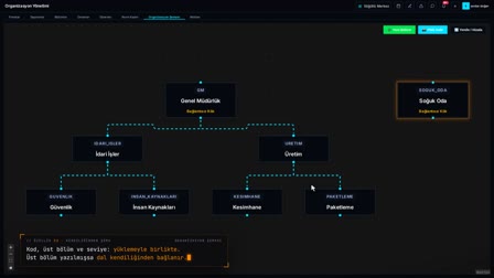
Multi location employee management: scope, active/inactive and export
From the top menu, the user selects the scope: a single location, a company or all locations. A location is deactivated or activated; the list is exported to Excel, PDF and by email.
Geofence radius: location check for biometric issue reports
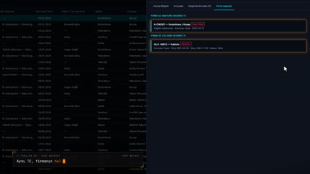
When an employee reports a biometric issue from their phone, location is mandatory; the distance to the location center is calculated, a report from outside the default 200-meter limit is rejected, and those within it go to the manager's Biometric Operations (Biyometrik İşlemler) screen.
How it works
- In Location Management (Lokasyon Yönetimi), you right-click and use "Add New Location" ("Yeni Lokasyon Ekle") to enter the location's identity and address details.
- "Find Address on Map" ("Adresi Haritada Bul") searches for the full address; the satellite map moves to it and the center latitude and longitude are filled in automatically.
- With "Expand to Full Screen" ("Tam Ekran Büyüt"), you draw the site boundary as a polygon and drop a marker at the entrance; the marker updates the center coordinates.
- You enter the NACE code and the İSG hazard class and save; the new location appears in the grid.
- A biometric issue report that an employee sends from their phone is rejected or forwarded to their manager depending on where they are.
Frequently asked questions
Do I have to enter location coordinates by hand?
No. The full address is searched with "Find Address on Map" ("Adresi Haritada Bul") and the Center Latitude / Center Longitude fields are filled in. These fields are read-only; they are updated by the marker you drop on the map.
How is an employee's location checked in a biometric issue report?
Location is mandatory in the report. The distance between the employee's position and the location's center coordinates is calculated; the default limit is 200 meters, and a report sent from outside this limit is rejected.
Where does the manager resolve a biometric issue report?
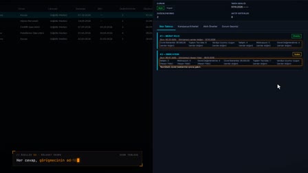
The report arrives on the Biometric Operations (Biyometrik İşlemler) screen in the manager's mobile app. The manager opens the event details, selects a manager action and closes the record with "Resolved" ("Çözüldü"); the resolution details stay on the record.
Where do you enter the NACE code?
The NACE code and the İSG (occupational health and safety) hazard class are entered in the İSG and Polygon (Geo) Information (İSG ve Poligon (Geo) Bilgileri) section of the location record.
How does multi time zone attendance tracking work?
Each location has its own country and time zone; all time screens in Pulsar HRM use that location's time zone. An overseas branch is defined as a separate location and tracked on its own time.
Can the location list be exported to Excel?
Yes. The location list is downloaded as Excel and PDF or sent by email.
How does branch based employee tracking work?
Each branch is defined as a separate location; the user picks a single location, a company or all locations as scope from the top menu. Time screens use each location's own time zone.